
Iraqi Geography
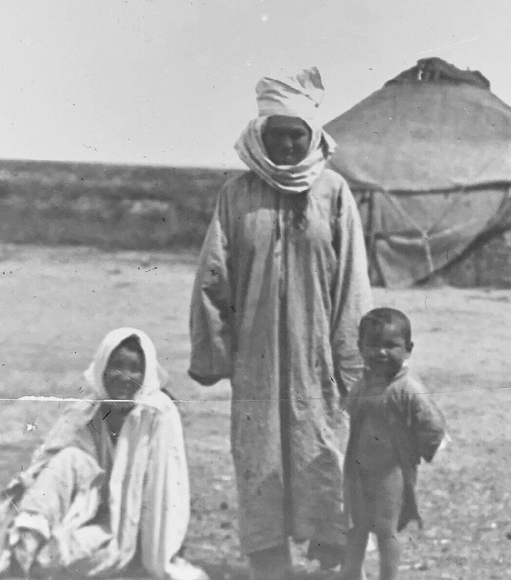
Figure 1.--raq has basically the same geography as ancient Mesopotamia. The reason is the same that modern Egypt has the same geography as ancient Egypt. They were based on he river valleys that spawned agriculture and civilization. In Mesopotamia it was the Tygris and Euphraties Rivers. These two rivers rise in Anatolia fed by melting snows and flow south east into the desert, creating a narrow ribon of life. Agriculture except in the north was largely based on irrigation from these rivers. . This was the eastern wing of the Fertile Crescent. Most of country s a series of broad, sandy largely arid plains. The Syrian Desert dominates the extreme west. This Magic Latern slide depicts 'Bagdad the Persian Gulf & Bokhara'. We are nmot sure just what Bokhara mean, we think the arid area around Bagdad. If you do an internet searchh yoday, Persina Rugs come up.
|
|
Iraq has basically the same geography as ancient Mesopotamia. The reason is the same that modern Egypt has the same geography as ancient Egypt. They were based on he river valleys that spawned agriculture and civilization. In Egypt it was the Nile. In Mesopotamia it was the Tygris and Euphraties Rivers. These two rivers rise in Anatolia fed by melting snows and flow south east into the desert, creating a narrow ribon of life. Agriculture except in the north was largely based on irrigation. This was the eastern wing of the Fertile Crescent. Most of country is a series of broad, sandy largely arid plains. The Syrian Desert dominates the extreme west. Modern Iraq is bordered to the north by Turkey, to the east by Iran, to the west by Syria and Jordan, and to the south by Saudi Arabia and Kuwait. It has only a narrow access to the sea, a strip of only 36 miles. Basra is its only port which privides access to the Persian Gulf. It sits between the 28°-38° parallel, roughly equivalent to the American South. It is at the northeastern fringe of the Arab world with a land border with Turkey and Iran. The country has four geographical regions. There is the Tigris-Euphrates alluvial plains in central and southeastern Iraq. Al-Jazeerah is an upland region in the north between the Tigris and Euphrates rivers and bordering deserts in the west and south. This is two-fifths of the country. Highlands rise in the north and northeast. The mountains, hills and plains of northern and northeastern Iraq occupy constitute about one-fifth of the country. The Zagros Mountains are shared with Turkey and Iran and cobstitute a natural boundary. This is the area largely inhabited by Kurds. The most productive agricultural region is the Tigris-Euphrates river system. Much of the rest of the country is arid scrubland near desert. In the extreme southeast near the Persian Gulf, the land is low, marshy, and often flooded. The people there became known as the Marsh Arabs.
HBC

Related Chronolgy Pages in the Boys' Historical Web Site
[The 1880s]
[The 1890s]
[The 1900s]
[The 1910s]
[The 1920s]
[The 1930s]
[The 1940s]
[The 1930s]
[The 1940s]
[The 1950s]
[The 1960s]
[The 1970s]
[The 1980s]
Related Style Pages in the Boys' Historical Web Site
[Long pants suits]
[Knicker suits]
[Short pants suits]
[Socks]
[Eton suits]
[Jacket and trousers]
[Blazer]
[School sandals]
[School smocks]
[Sailor suits]
[Pinafores]
[Long stockings]
Navigate the Boys' Historical Clothing Web Page
[Return to the Main Iraqi page]
[Introduction]
[Activities]
[Biographies]
[Chronology]
[Clothing styles]
[Countries]
[Bibliographies]
[Contributions]
[FAQs]
[Glossaries]
[Images]
[Links]
[Registration]
[Tools]
[Boys' Clothing Home]
Created: 12:22 AM 4/18/2019
Last updated: 12:22 AM 4/18/2019