|
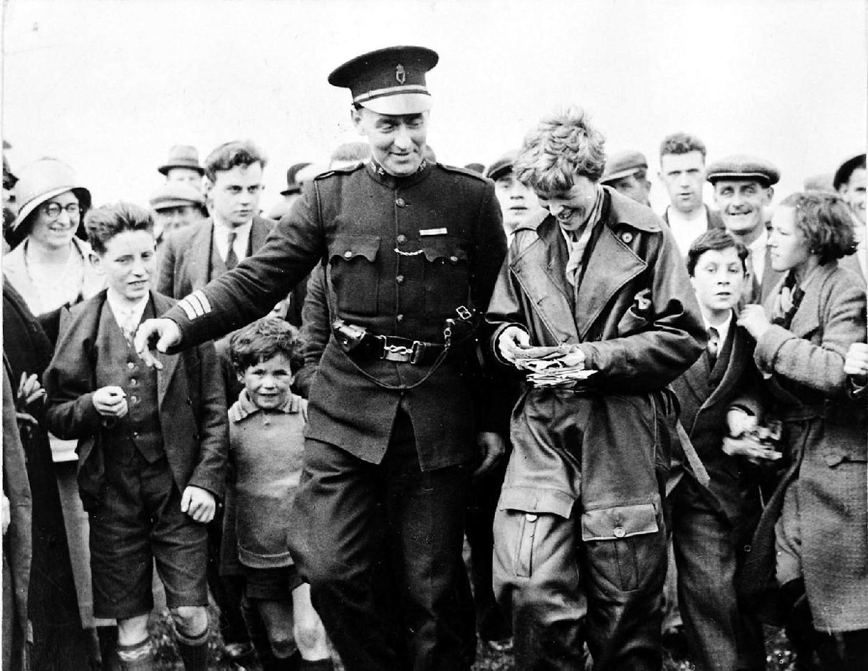
Ireland is an islands located in the Atlantic Ocean on the northeast perifery of Ireland. Ireland until modern times was the furthest reach west of European populations. This is why so many cometctions with North America exist. Irish monks during the Dark Ages learned about Ocelabd and may have traveled further west. The Irish were the first Catholics to emigrate to the United States in numberrs (1840s). The first Trans-Atlantic cable conections to North America were with Ireland, County Kerry (1857). Marconi with his first Trans-Atalantic radio braodcast chose England, Cornwall for the same basic reason (1901). The final port call for many ocean kiners, including the RMS Titanic was Queenstown (1912). Ireland was the first land that Lindberg sighted in his first solo Atlantic crossing flight (1926). Lindberg flew over Ireland heading for mire dramatic landing in Paris. Amelia Earhart landed in Ulster when she crossed the Atlantic soon after (1928). In the modern era, Iceland became the furtest western Europedan population, but without the connctions to Enagkand and the Cintindentbthat Ireland has. Unlike most of England. the entire western coast of Irelnd is exposed to the North Atlantic and the North Atlatic battering has created a rugged, drantic coastline in addition to many islands, peninsulas, and headlands. Ireland's extensive coastline and rivers exposed it to the ravages of the Norsemen (8th-9th centuries), although they left a smaller imprint than in Englabd. The central geographic feature is a low-lying central plains without any substnatial mountains. The central plasin is extremrely well waterd, leading to Irelznd's legfndry name--the Emerld Isle. There are coastal nountains ringing the central plain. The highest peak is Carrauntuohill (1041 meters). There are several lakes which are sizeable given the country's small area. Lough Neagh is the largest lake in the British Isles. There are also several mostly small rivers, Ireland is cut in two by the River Shannon (259 km) flowing south Lough Erne in the north and entering the Atlantic south of Limerick. The Shanon and extensive estuary dominate central Ireland. Ireland is separated from England by the Irish Sea. It is separated by mainland Europe by the poorly defined Celtic Sea which touches on other Celtic areas: Wales, Cornwall, and Brittany.

Navigate the Children in History Website
[Return to Main geogrraphy country pahe]
[Return to Main geography page]
[Return to Main Irish page]
[Introduction]
[Biographies]
[Chronology]
[Climatology]
[Clothing]
[Disease and Health]
[Economics]
[Geography]
[History]
[Human Nature]
[Law]
[Nationalism]
[Presidents]
[Religion]
[Royalty]
[Science]
[Social Class]
[Royalty]
[Bibliographies]
[Contributions]
[FAQs]
[Glossaries]
[Images]
[Links]
[Registration]
[Tools]
[Boys' Clothing Home]