|
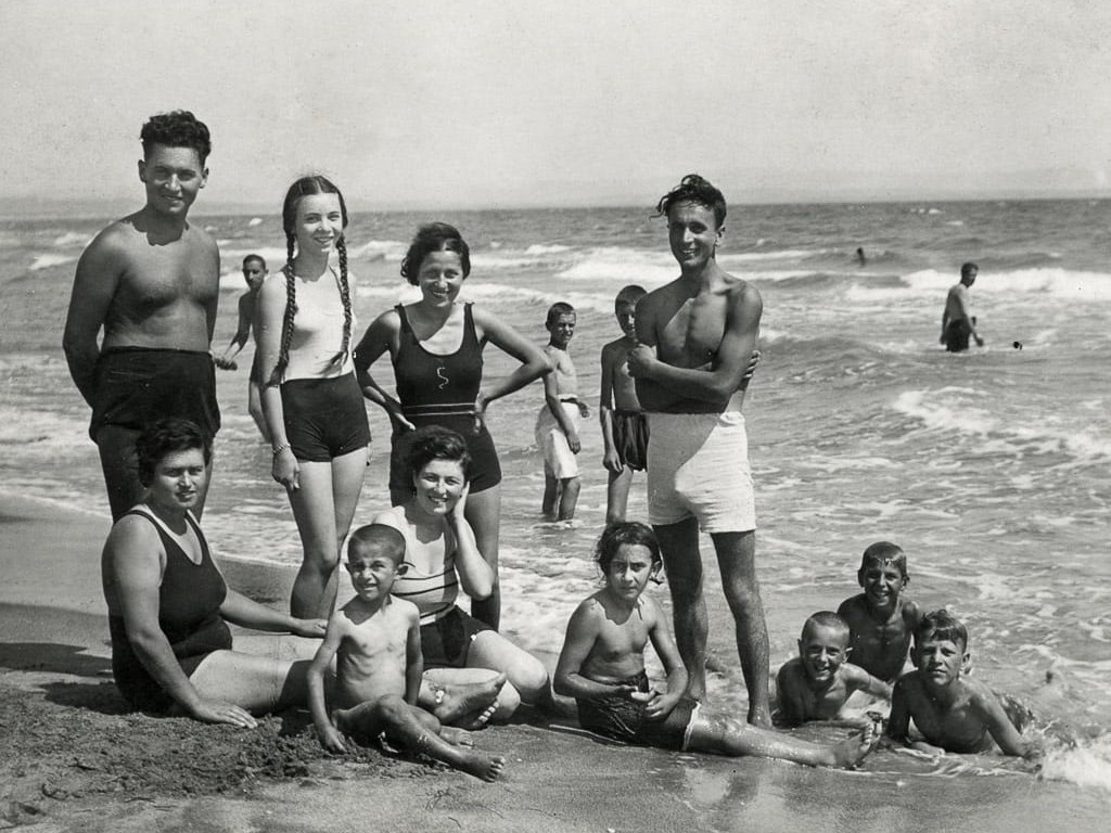
Bulgaria is a small Balkan country bordering on Greece, Macedonia, Romania, Serbia, and Turkey. It is set in a strategic location on the Black Sea near the Turkish Straits. It thus dominates key land routes from Europe to Middle East and Asia. Which is why Bulgaria has proven to be a cultural and ethnic melting pot with Greek, Slavic, Ottoman, and Persian capped eith Germanic and most recently Communist influences. After liberation from the Ottomans, the Balkan countries fought a series of wars and the modern boundaries were not set until after world war II. Because of the south loction, Bulgaria has a more moderate climate than most of Europe. There are cold, damp winters and hot, dry summers. Bulgaria along with Greece, Italy, Spain, and Portugal represent Europe's southern tier. Although a small country, it has a widely diverse terrain encompassing Black Sea coastline, rivers, and a rugged mountainous interior. The Blck Sea coast becme known as the Bulgarian Riviera (figure 1). It included sandy beaches, cliffs, historic towns (Nessebar and Sozopol), and popular resorts offering sunny beachesand and golden sands. Tourists came to enjoy the natural beauty, ancient sites, and exciting nightlife. There are lowlands in the north and southeast. Natural resources include bauxite, copper, lead, zinc, coal, timber, and a large area of arable land. bout half of the land is suitable for agriculture. Aarable land totals 30 percent and about 15 percent used for pasture. About 35 percent of the land is forested. The country has a range of enviromental problems. The most serious is air pollution from industrial emissions. This is largely a problem due to Communist era indusrial development. This began during the Stalinist era which placed an emphsis on heavy industry. During this ansd the subequent Comminist era, little or not attention was given to enviromental concerns. Post-Communist Bulgaria is thus faced with the difficult decesion of closing outdated, poluting plants and thus increasing unemployment in a weak economy. There is also significant water pollution both from factory discharge and untreated urban sewage. Bulgarian forests are being damaged by air pollution, especially acid rain. Algricultural areas shows signs of heavy metal contamination from Communist era metallurgical plants and other industrial plants.

Navigate the Children in History Website:
[Introduction]
[Animals]
[Biographies]
[Chronology]
[Climatology]
[Clothing]
[Disease and Health]
[Economics]
[Ethnicity]
[Geography]
[History]
[Human Nature]
[Law]
[Nationalism]
[Presidents]
[Religion]
[Royalty]
[Science]
[Social Class]
[Bibliographies]
[Contributions]
[FAQs]
[Glossaries]
[Images]
[Links]
[Registration]
[Tools]
[Children in History Home]
Navigate the Boys' Historical Clothing Bulgarian pages:
[Return to the Main Bulgarian page]
[Return to the Main country geography page]
[Bulgarian choirs]
[Bulgarian royalty]
[Bulgarian scouts]